|
|
The parcel base map is usually current as of one month prior to the current month. The GIS Division is currently working with the Recorder's Office on updating all parcel splits and subdivisions as they are recorded. The parcel basemap is updated on a daily basis.
Datasets Available & Pricing
Aerial Photography(Engineering Dept.)
All of the data or maps listed below must be prepaid in full. Allow 1-2 days after ordering the data or maps for completion. |
| |
| Parcel Base map |
Digital copy of the entire county.
|
$250.00 |
- The digital base map data includes city boundaries, if requested, at no additional cost.
- Additional data from our databases such as ownership, addresses, etc. will be an additional $50.
|
| Centerline Coverage |
Digital copy of the centerline coverage for the entire county.
|
$350.00 |
Updates will be available on a monthly basis.
|
$50.00
per update. |
| Custom Data and Other Coverages Available |
Custom areas of the Parcel Basemap or centerline coverage and any other digital copy of data or database information. Contact Us regarding other available coverages.
|
$50.00
per hour to extract area. 1 hour minimum. |
Data Formats
The Weber County GIS Division is an Arc/Info shop. The primary format for all of our spatial datasets is the Geodatabase. We usually export to an ESRI shapefile. The GIS Department also handles some tabular data. This data is exported in formats such as .dbf, or ASCII Text .txt.
Data Standards
All of the GIS datasets are projected meet the following standards:
The GIS Department can project the datasets to another projection, i.e. UTM, upon request. Contact us for available formats and projections. |
| |
| Paper Maps Available - Click to Enlarge |
| |
| Special Order Maps |
| Custom Maps are available upon request if available. Price is dependant on size and programming time involved. Fees are $50 per hour, with a 1 hour minimum. Contact the GIS Division to get an estimate of time involved. Contact Us |
| |
All of the maps listed below must be prepaid in full. Please allow 1-2 days after ordering for completion.
Please Note: Previews and Maps may take a while to load. |
| |
County Base Map - 100 x 36 |
$30.00 |
|
|
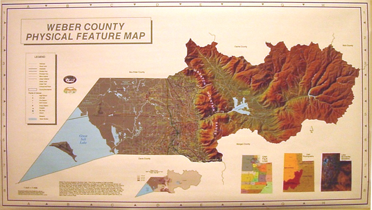
County Physical Feature Map - 60 x 36 |
$20.00 |
|
|
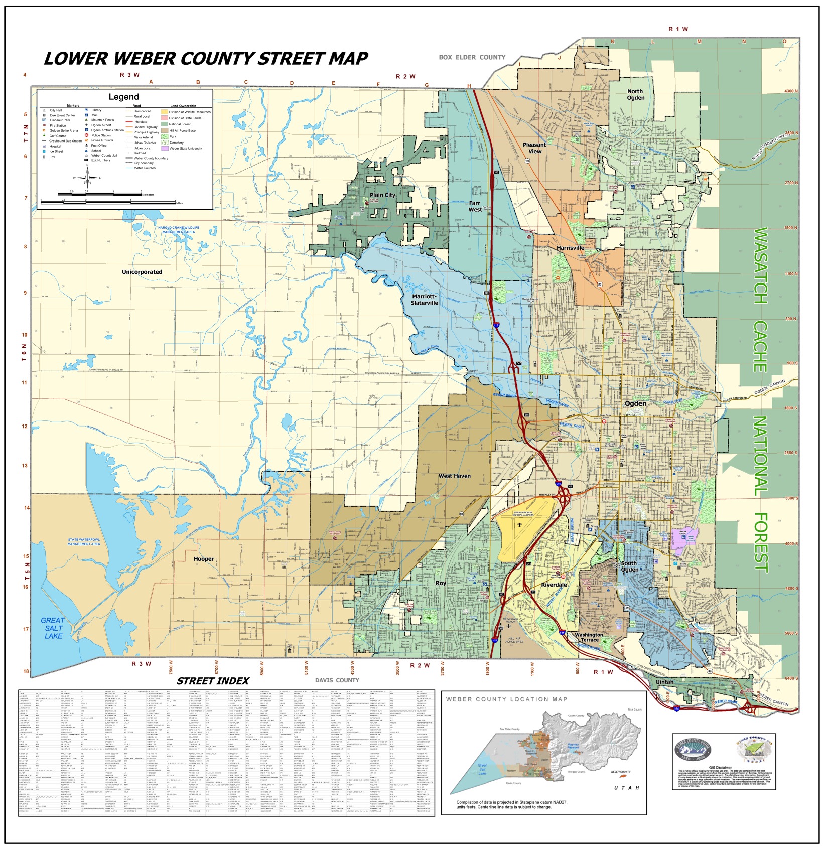
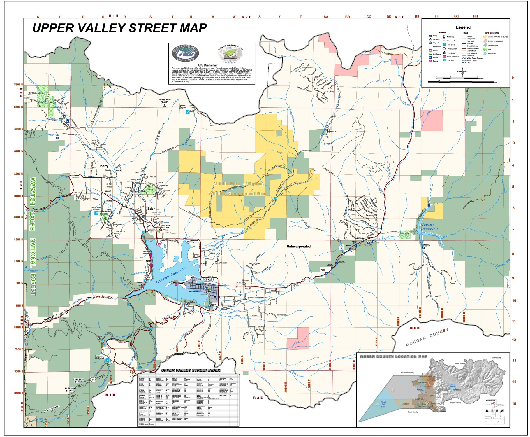
Street Guide - 36 x 48 (Lower or Upper Valley)
FREE travel size also available |
$10.00 |
|
|
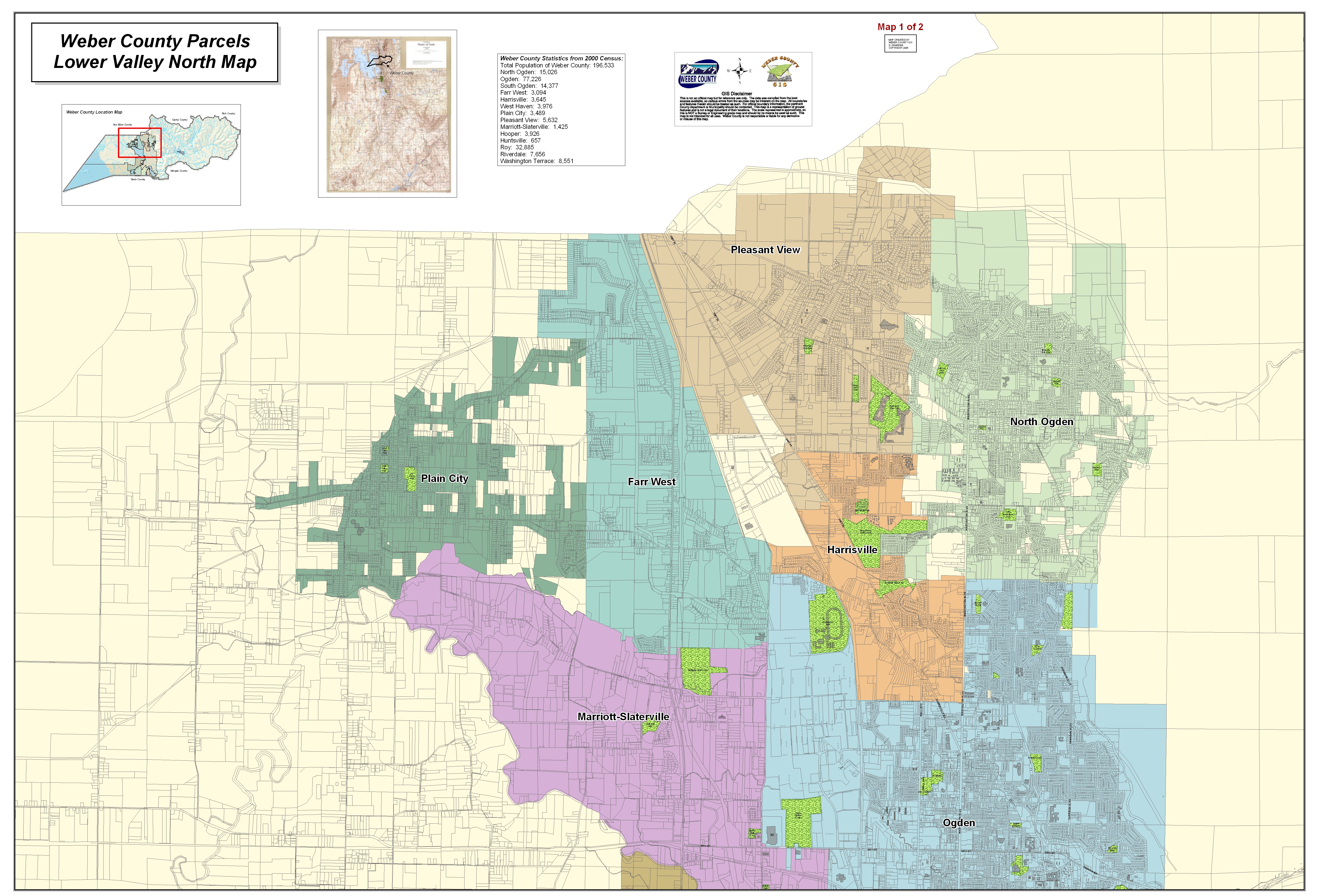
Street Map with Parcels - 36 x 48 (North or South) |
$8.00 |
Upper Valley North |
Upper Valley South |
|
|
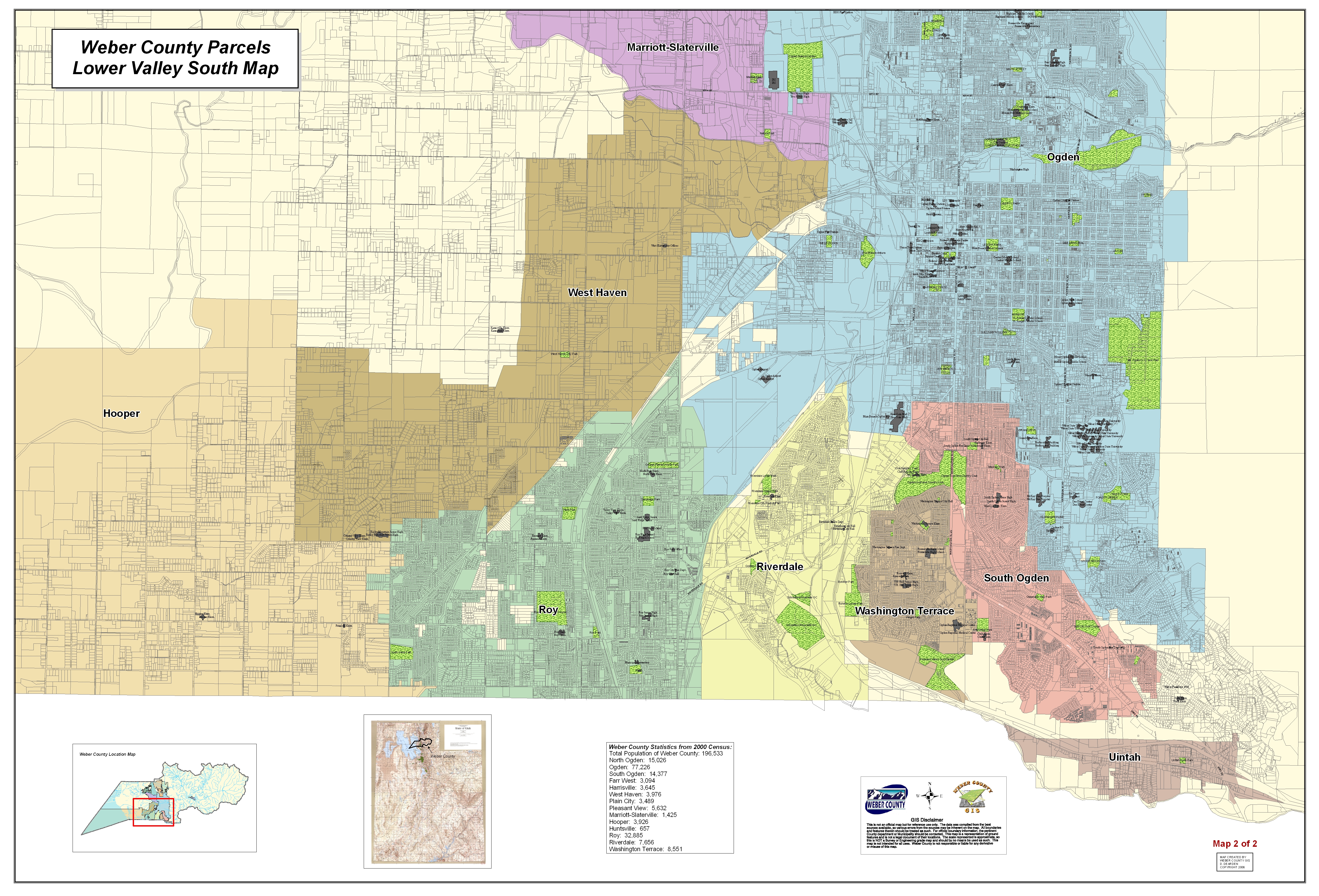
Lower Valley North |
Lower Valley South |
|
|
|
|
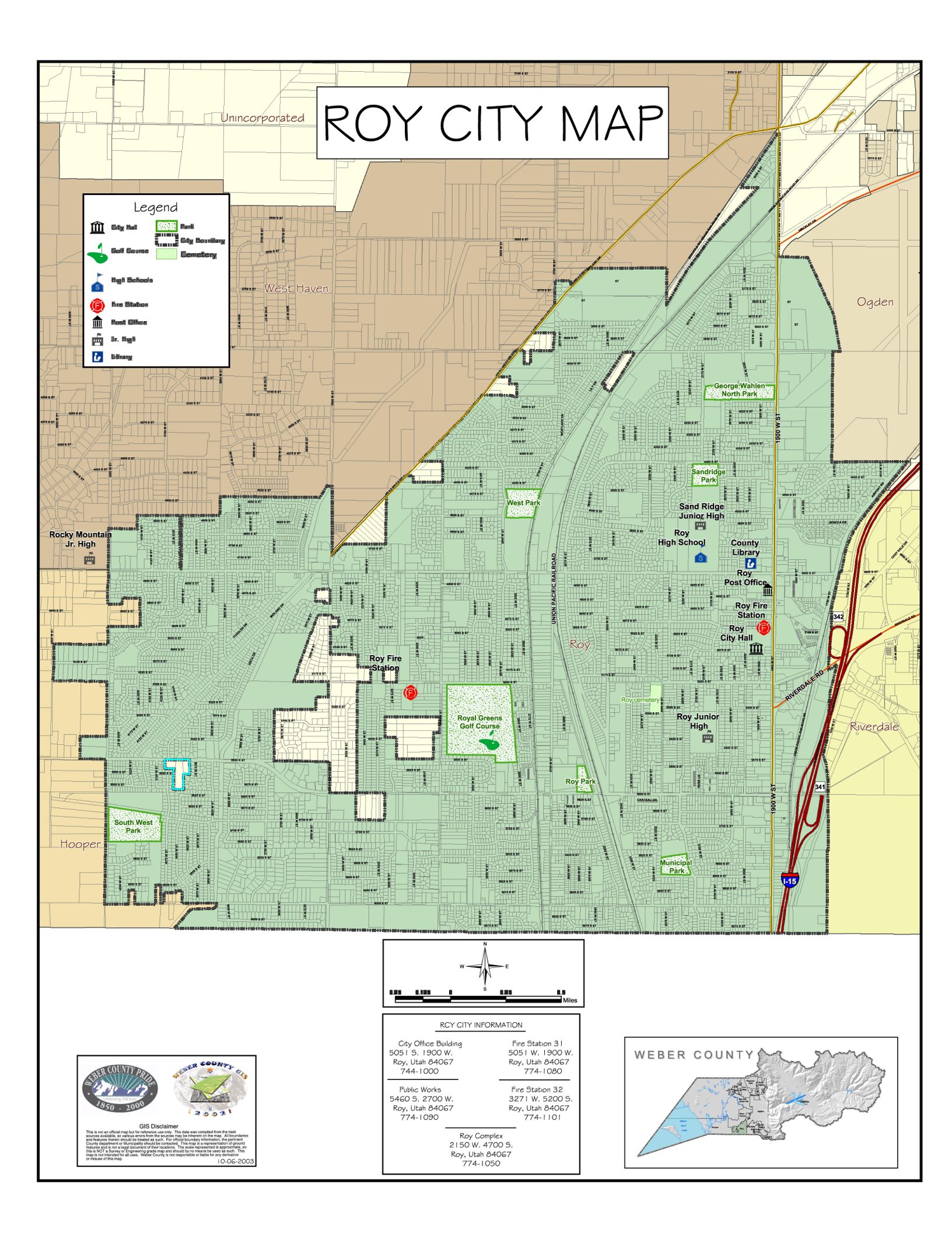
City Map - 20 x 20 (Any city, but Ogden) |
$5.00 |
|
Ogden City Map |
$8.00 |
|
|
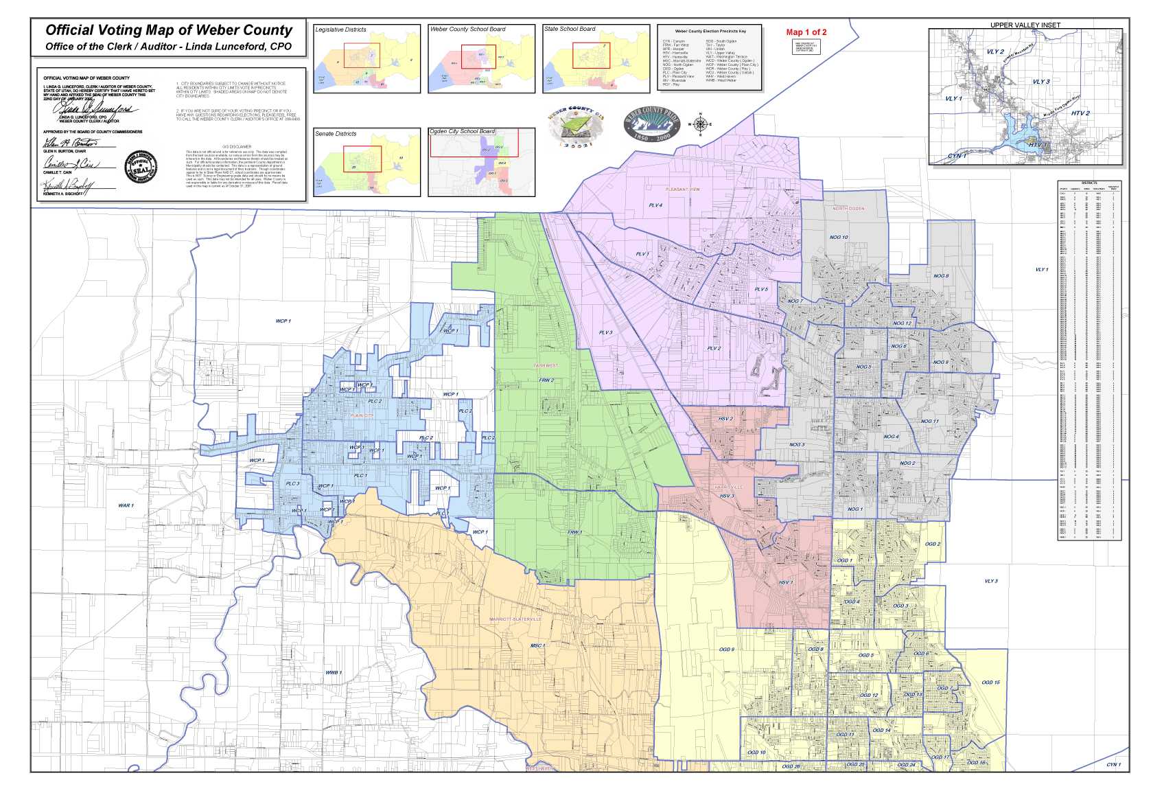
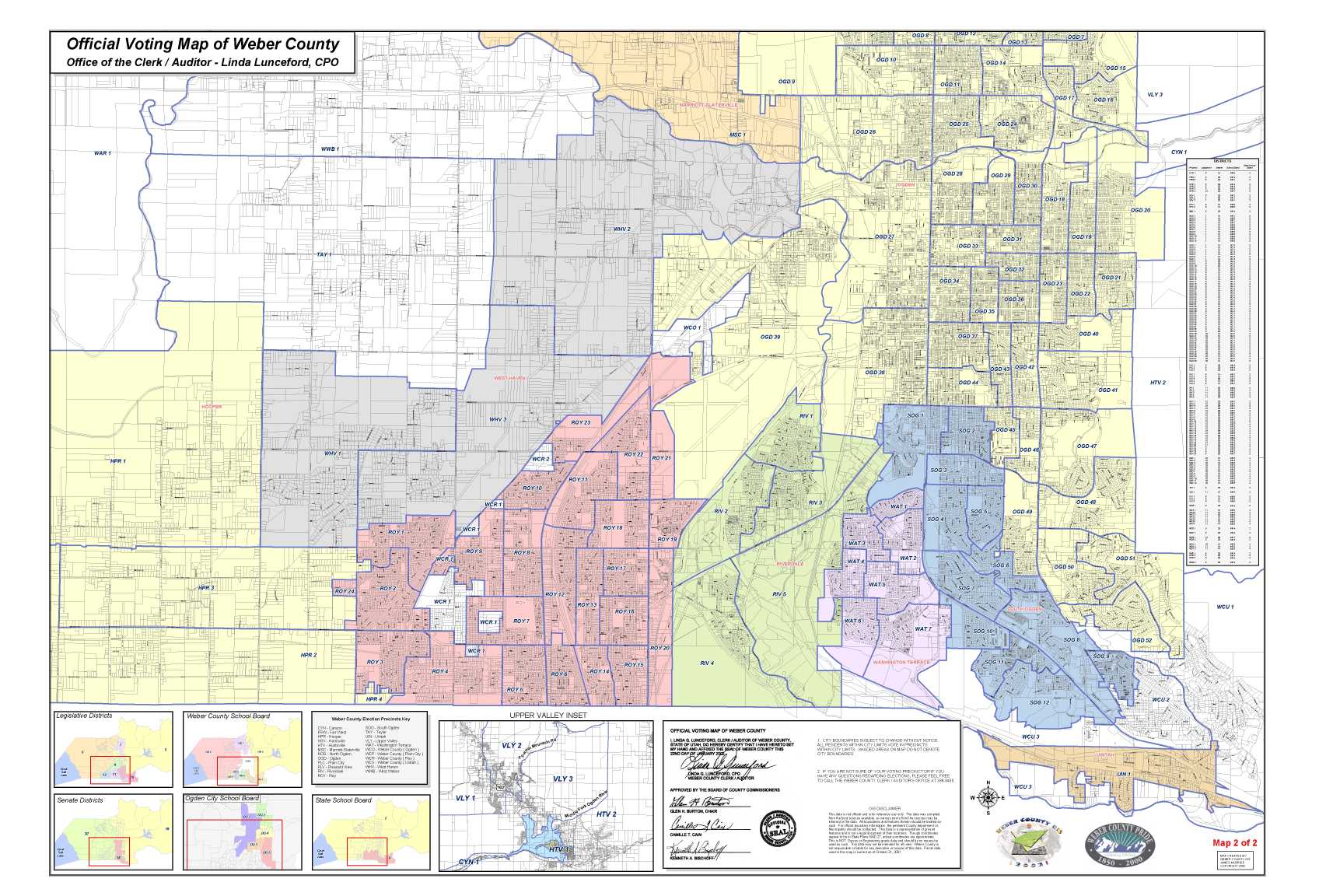
Official Election Map |
$10.00 |
|
|
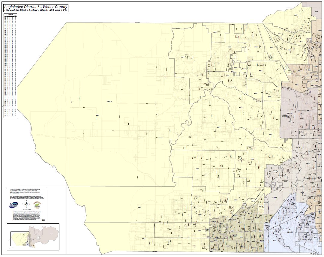
Legislative District Maps
|
$10.00 |
|
|
Senate District Maps
|
$10.00 |
|
|
Weber County School Board Map
|
$10.00 |
|
|
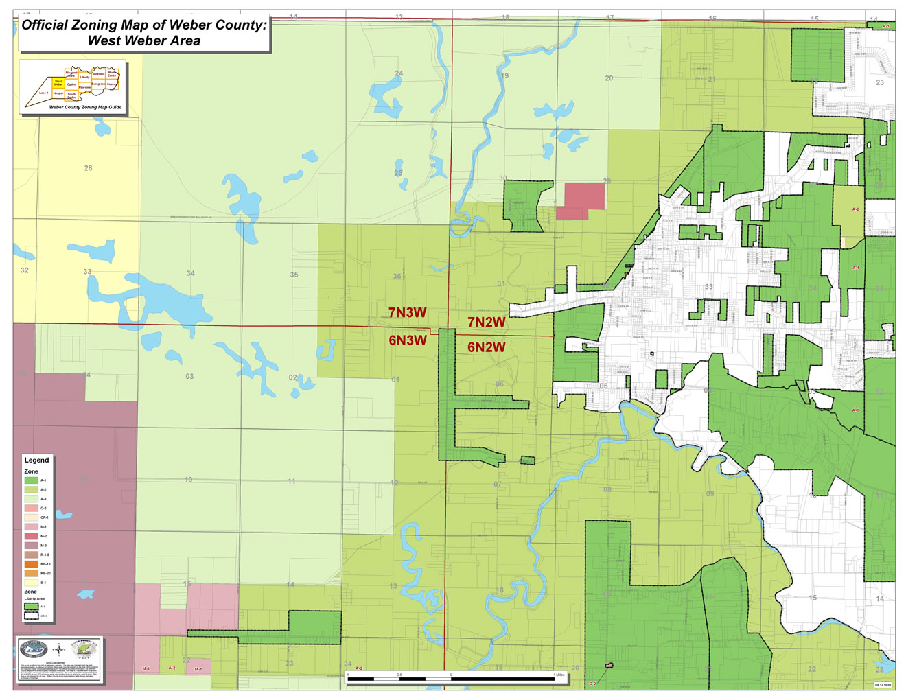
Zoning Maps - 24 x 36
Small Zoning Maps - 12 x 18 |
$10.00
$5.00 |
|